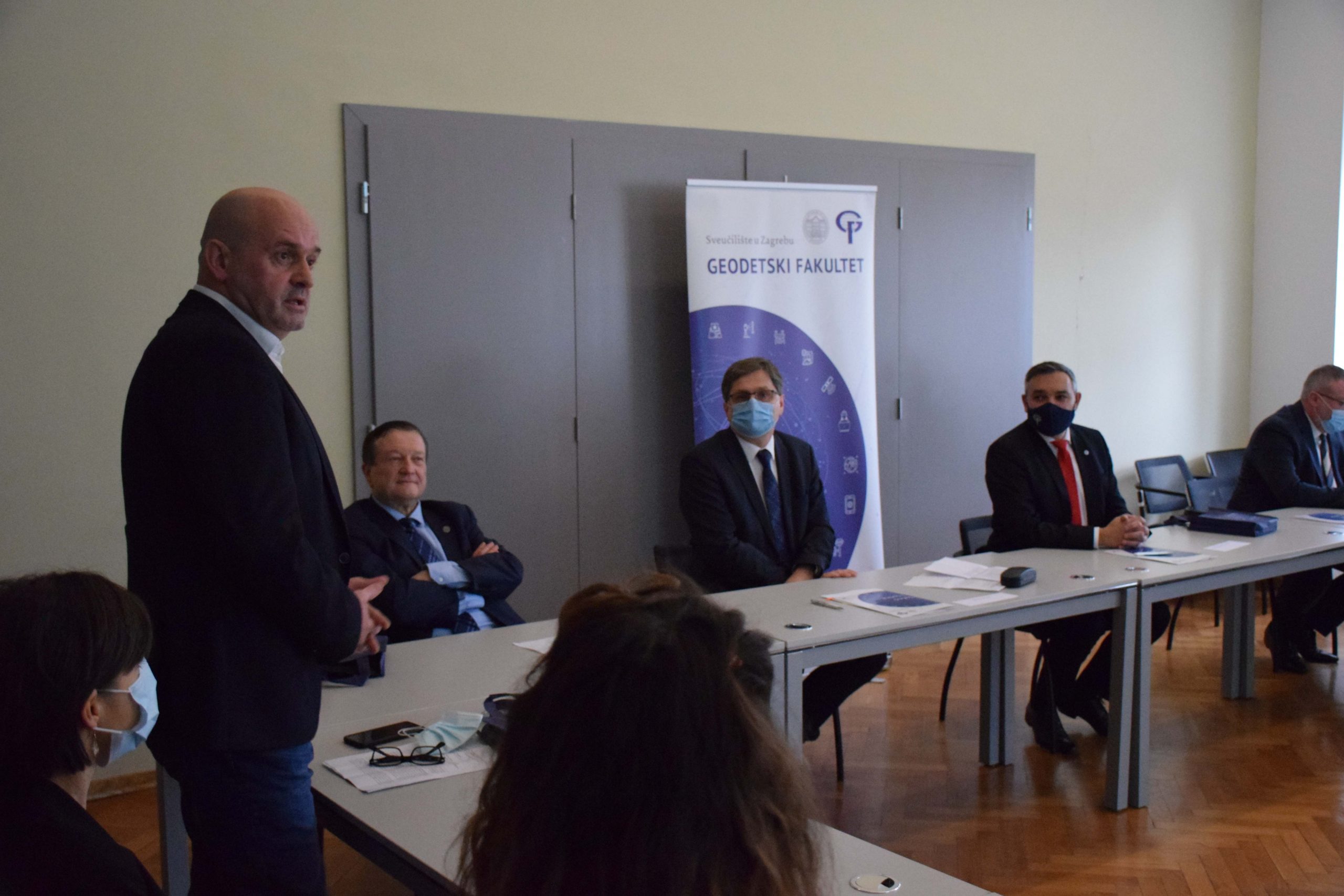
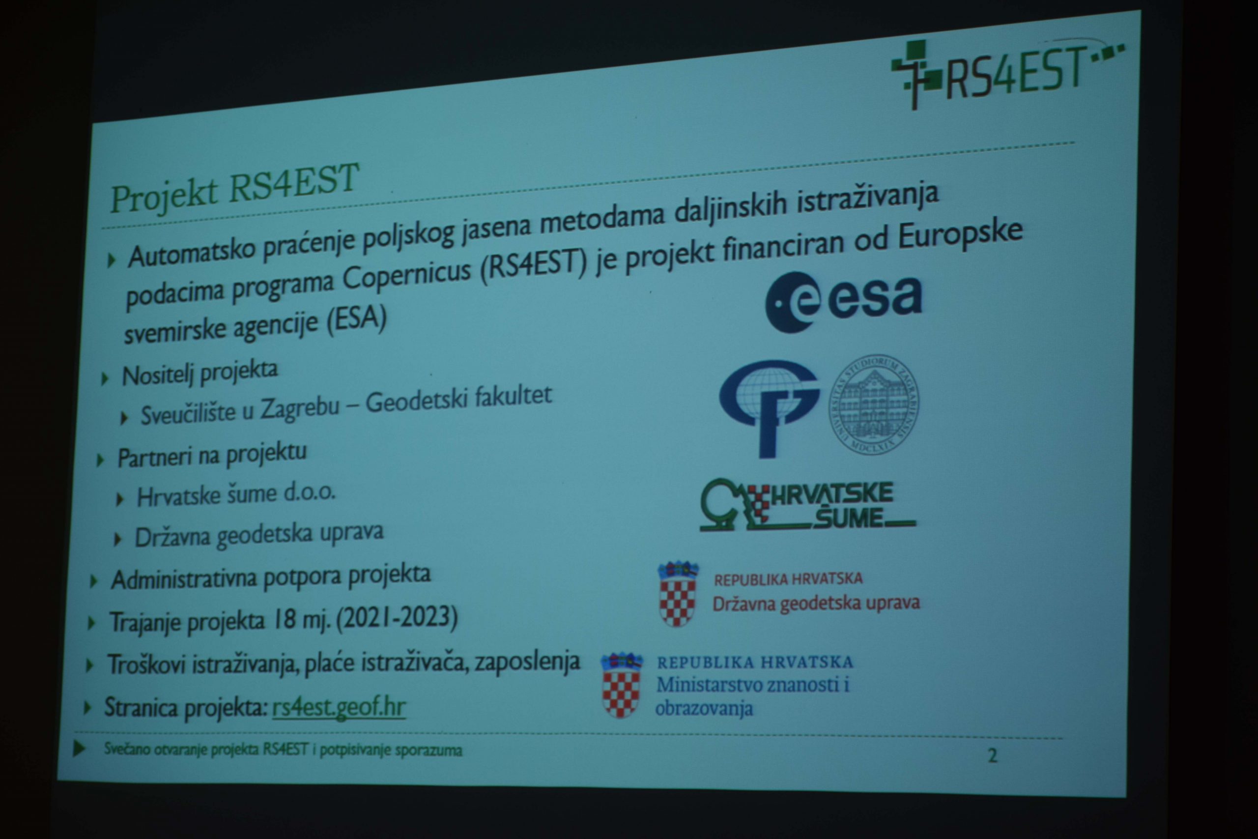
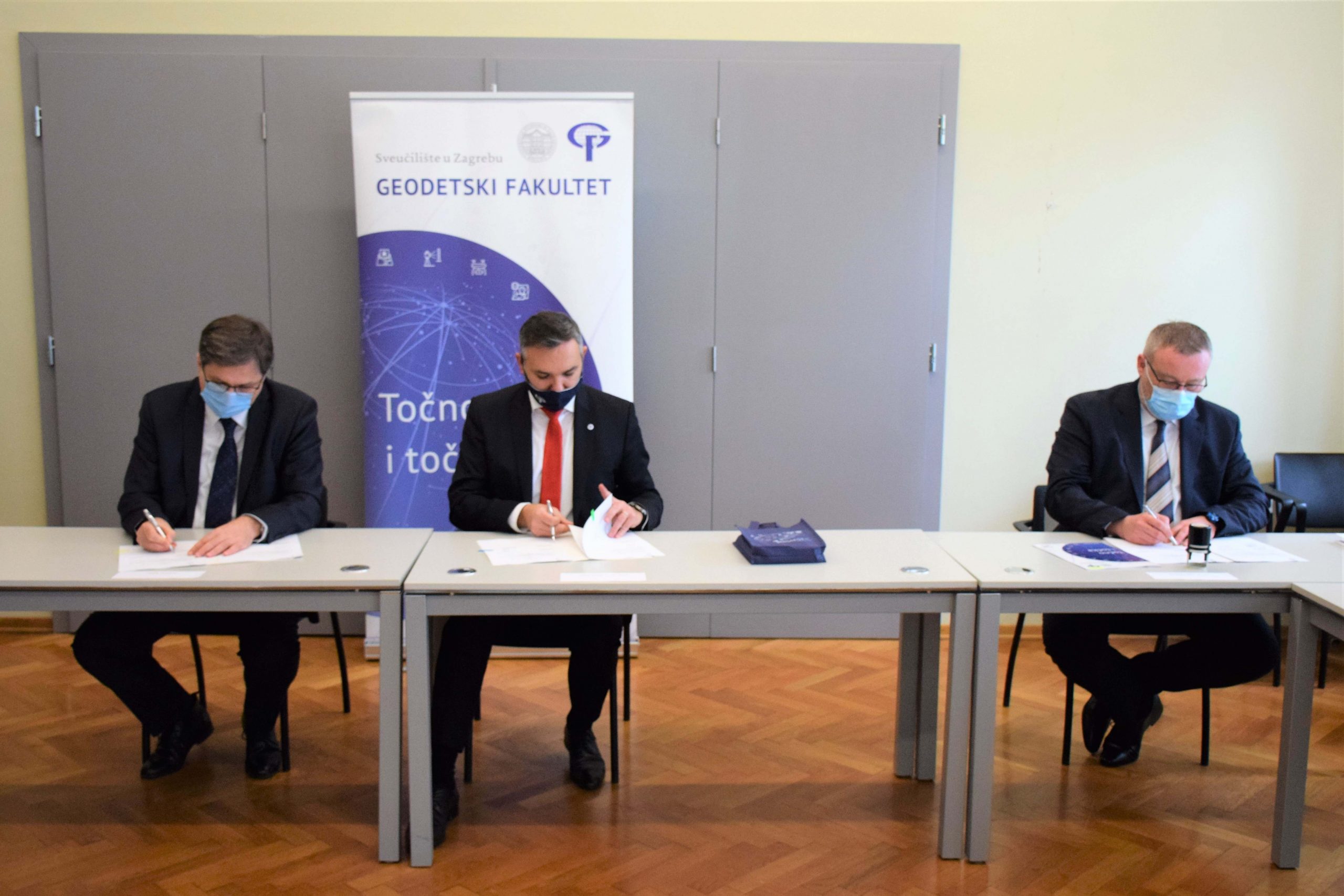
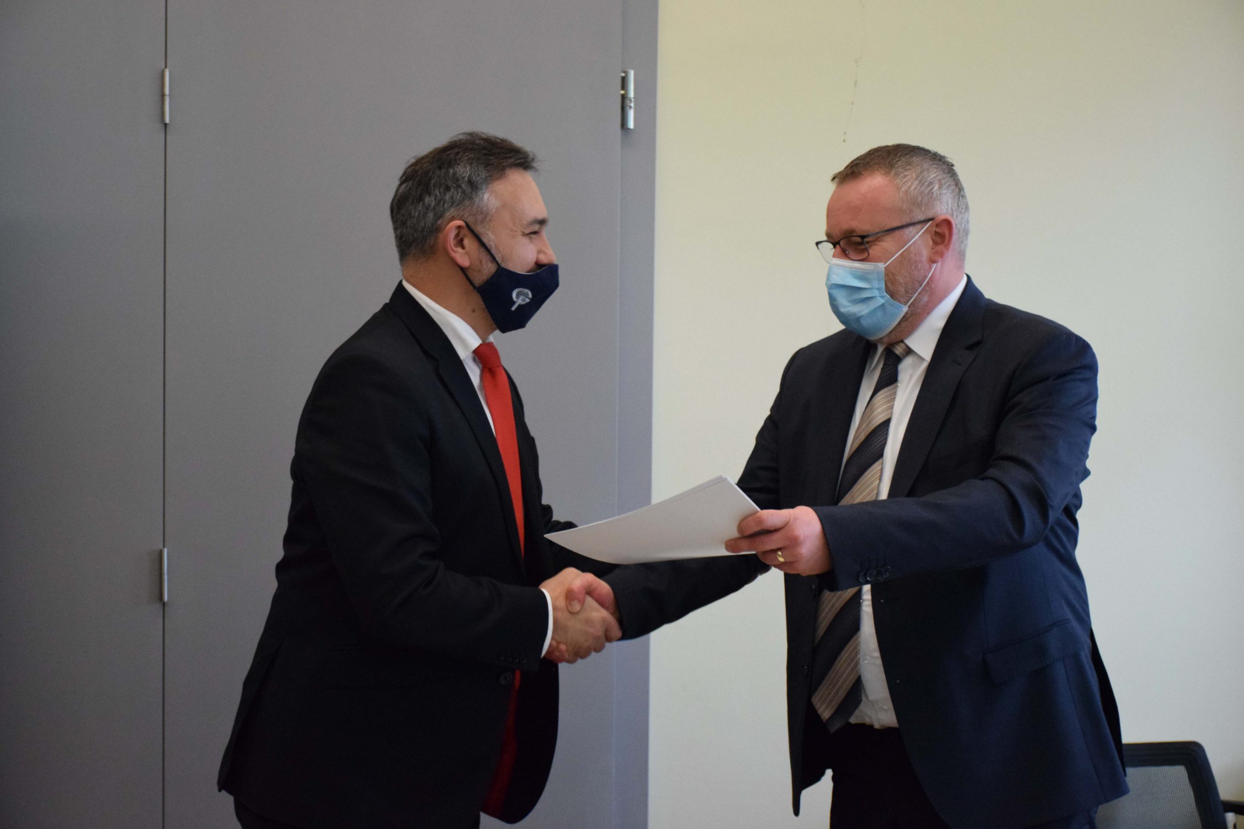
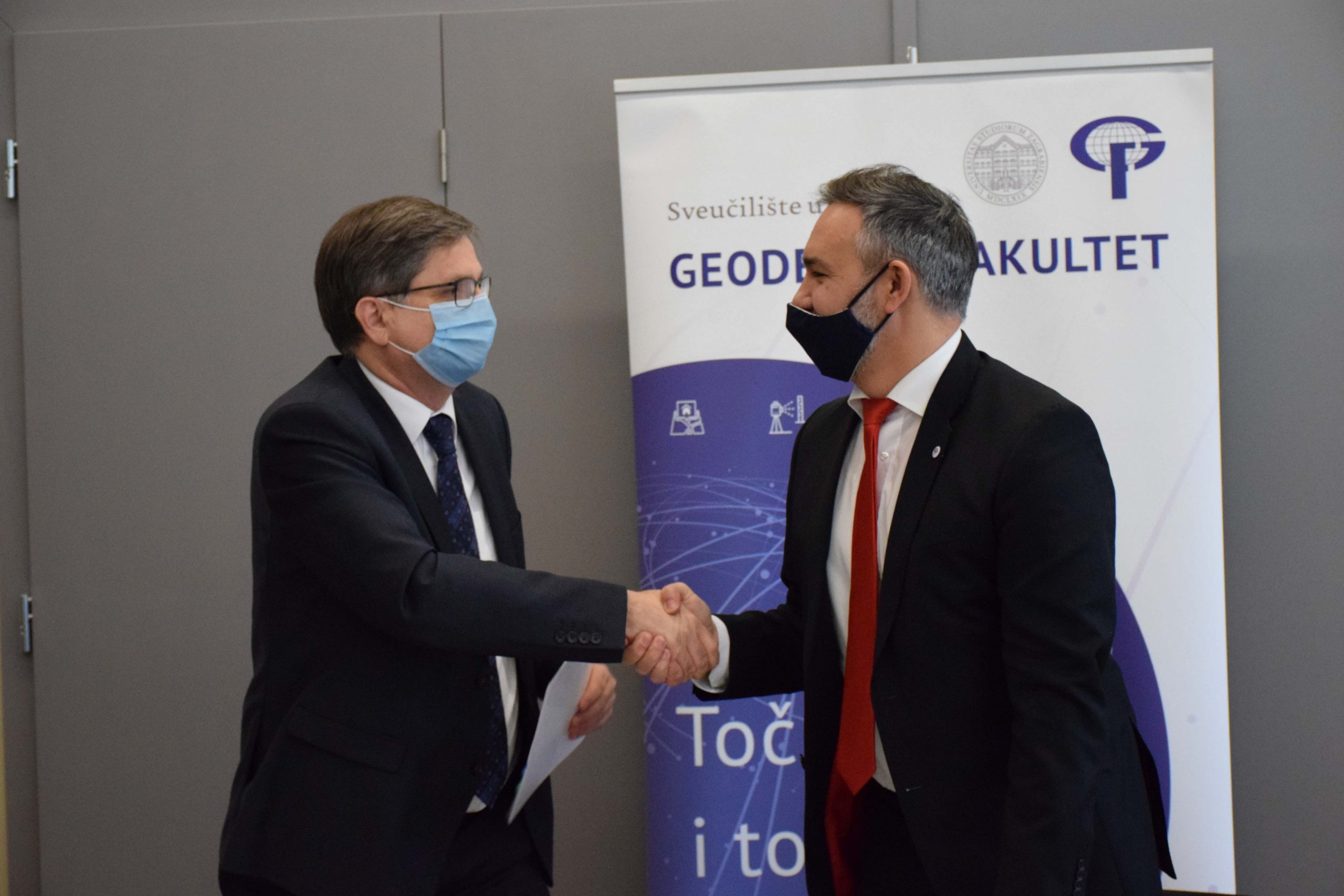
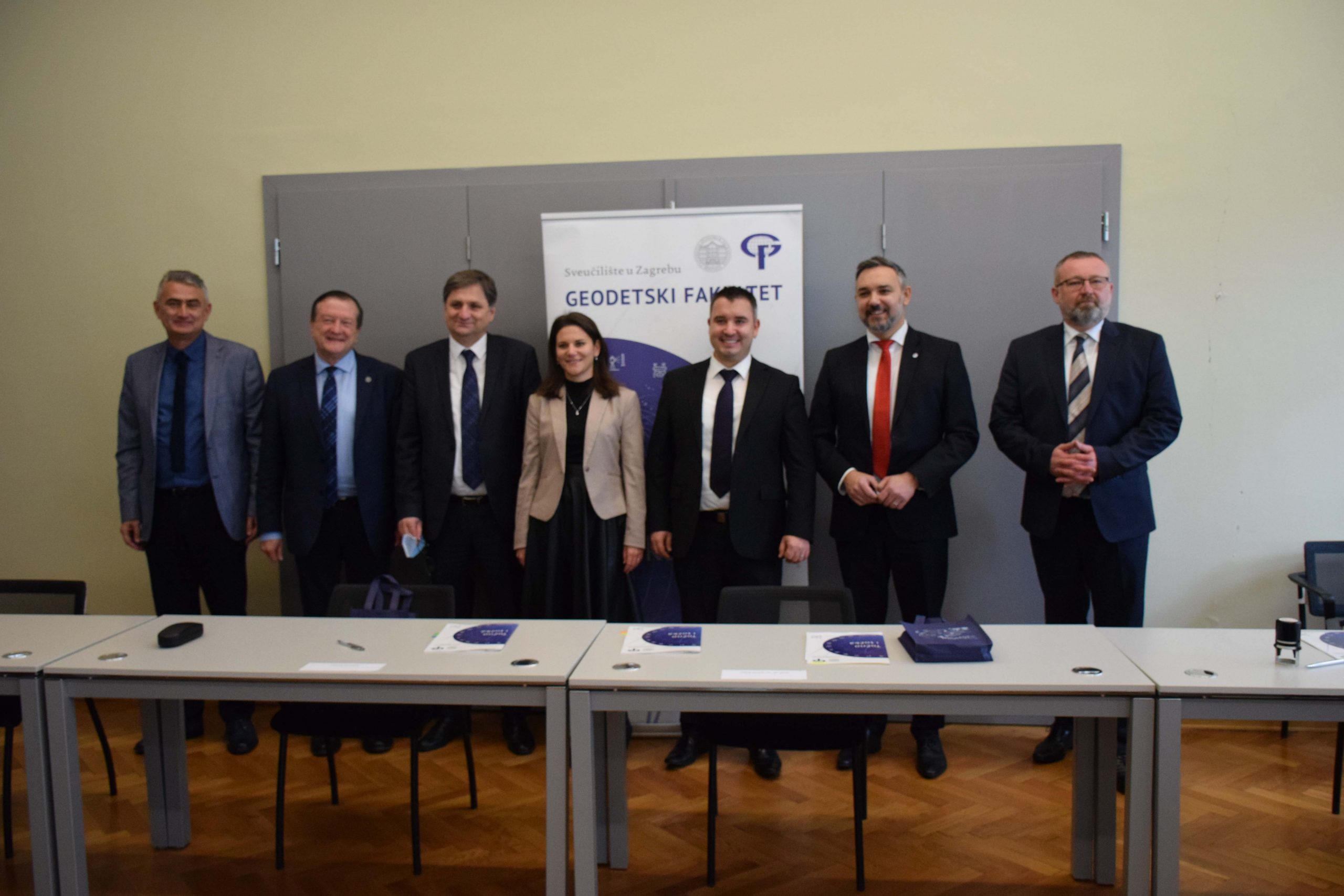
On 15 December 2021, the Faculty of Geodesy hosted the opening ceremony of the project “Automatic monitoring of narrow-leaved ash (Fraxinus angustifolia Vahl) forests by remote sensing methods and Copernicus data (RS4EST)” and signed cooperation agreements between the project holder Faculty of Geodesy and project partners State Geodetic Administration and Croatian Forests Ltd.
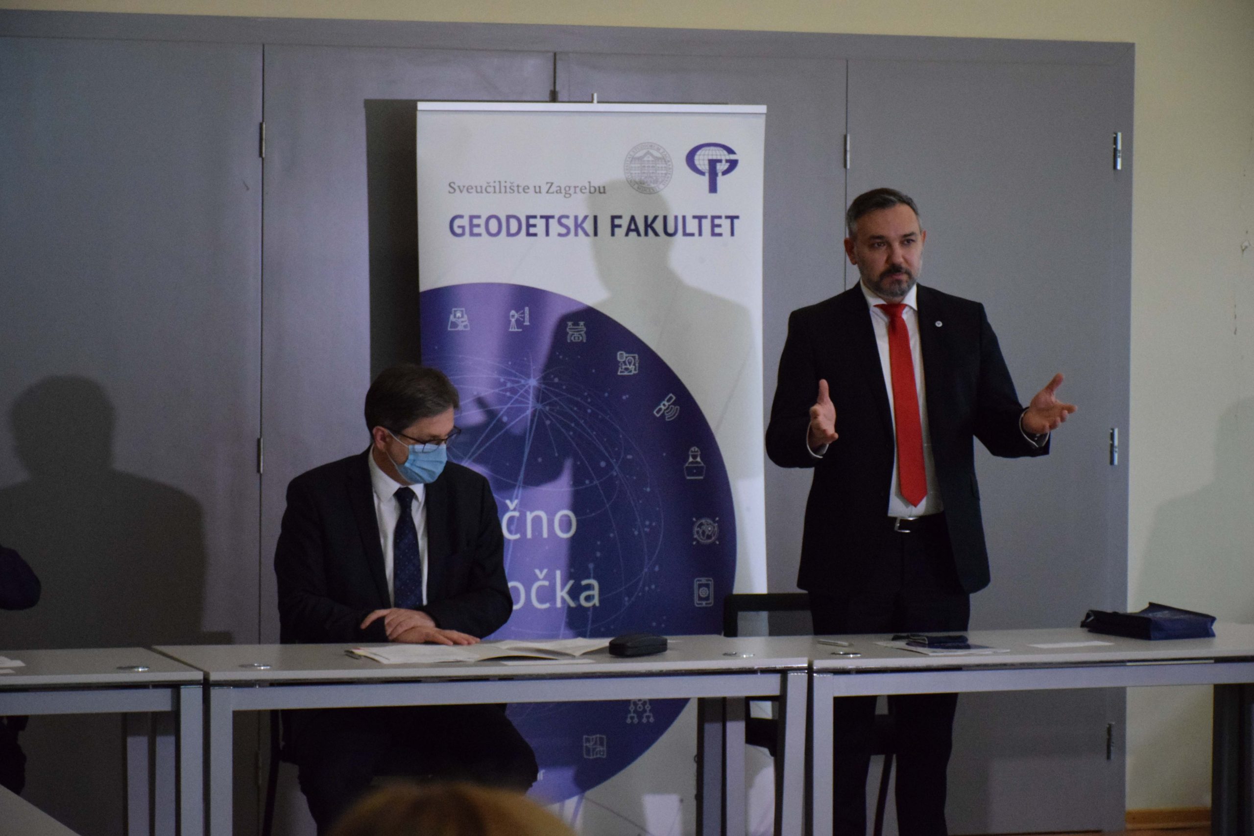
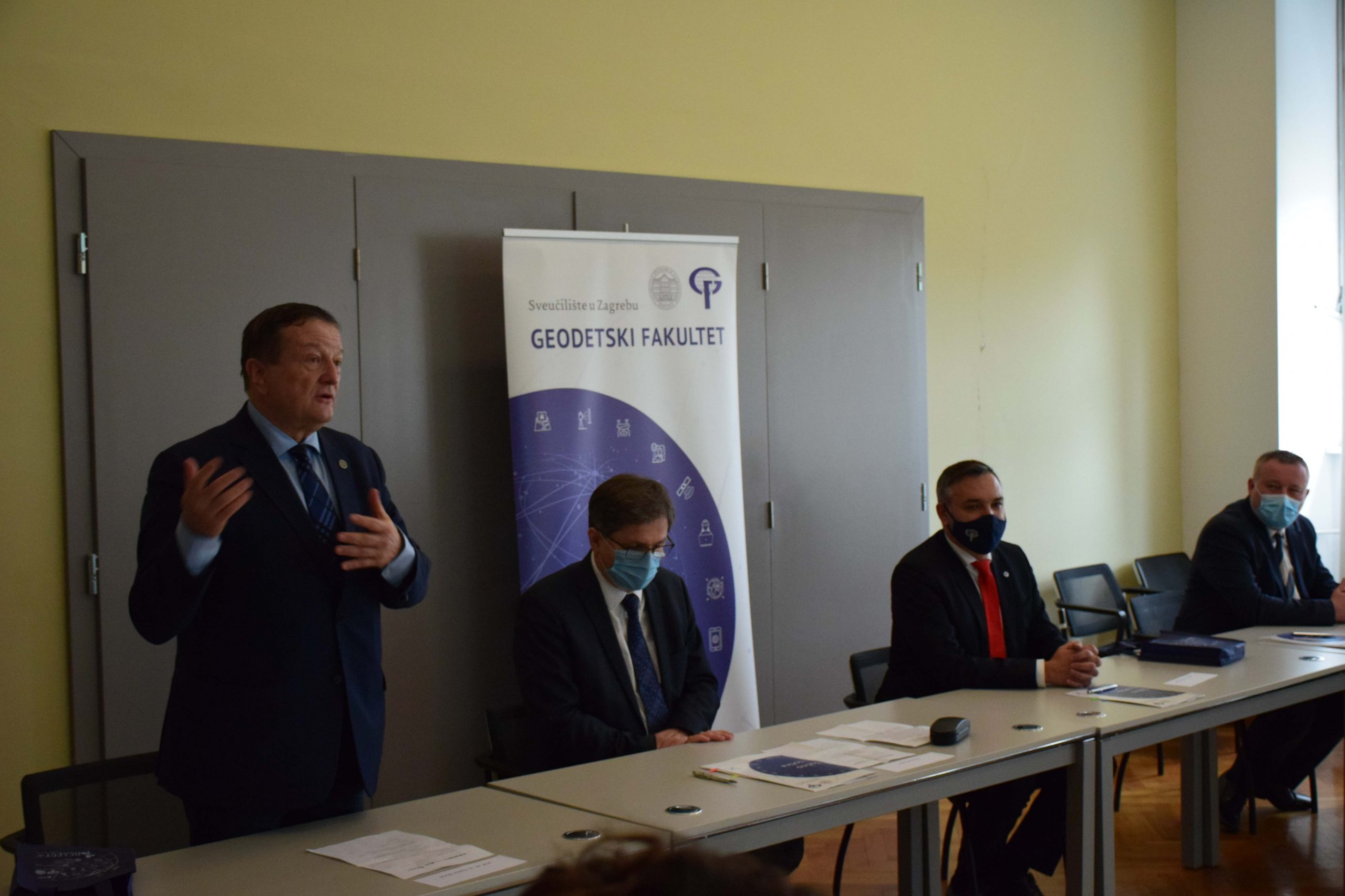
The ceremonial opening of the project began with welcoming speeches by prof. Almin Đapo, Dean of the Faculty of Geodesy, after which the audience was addressed by Ivan Fazekaš, M.Sc., Member of the Management Board of Croatian Forests Ltd, Antonio Šustić, Deputy General Director of the State Geodetic Administration, Želimir Kramarić, M.Sc., Head of the Ministry of Science and Education and delegate to the European Space Agency and prof. Damir Boras, Rector of the University of Zagreb. They emphasized the importance of this project not only because of the monitoring of narrow-leaved ash forests but also because of the joint interdisciplinary cooperation of partner institutions on this scientific research project.
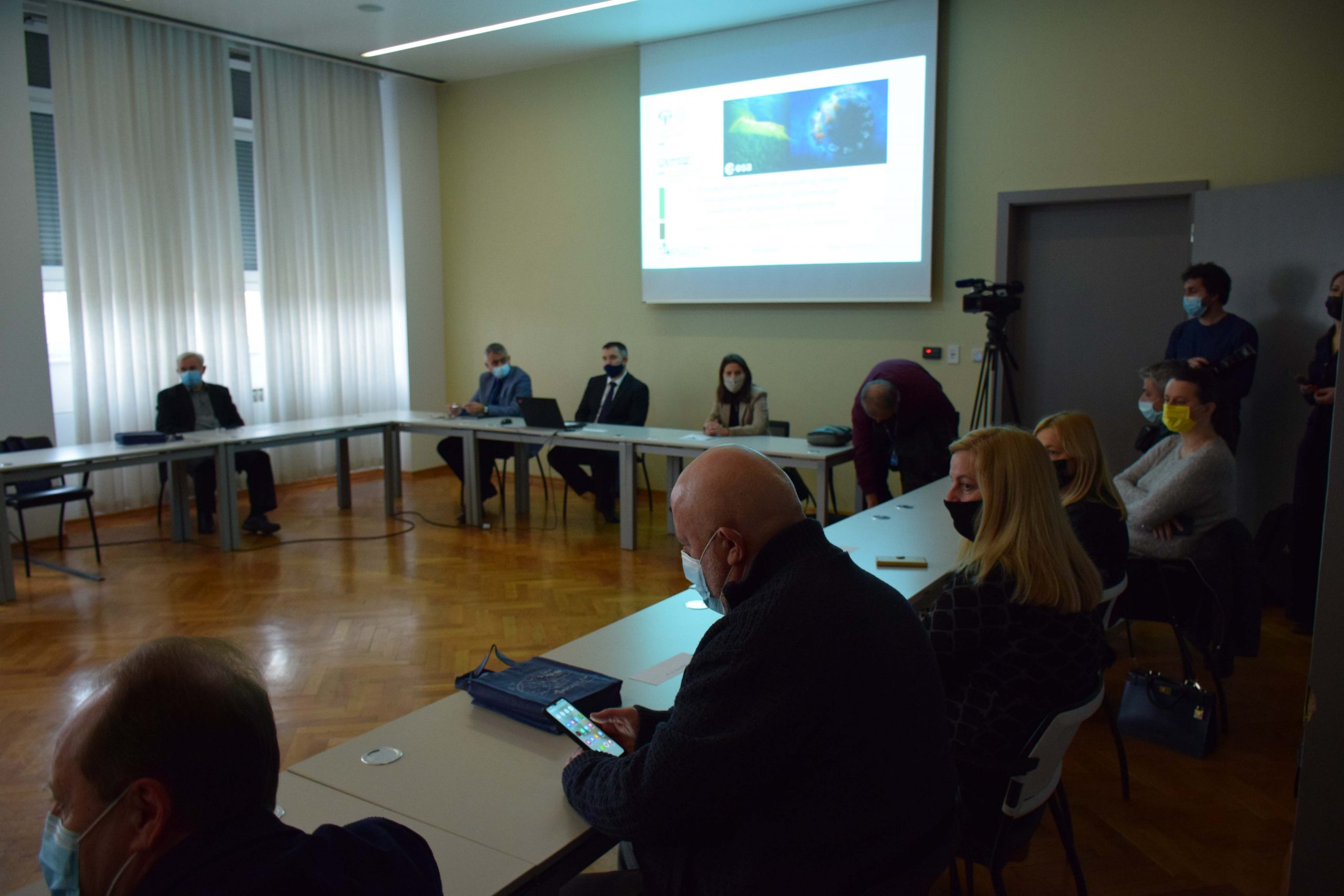
Welcoming speeches were followed by a presentation of project activities and project goals held by assist. prof. Mateo Gašparović, project manager, as well as the presentation of the project partners held by Damir Klobučar, Ph.D., Croatian Forests Ltd and Iva Gašparović, Ph.D., State Geodetic Administration.
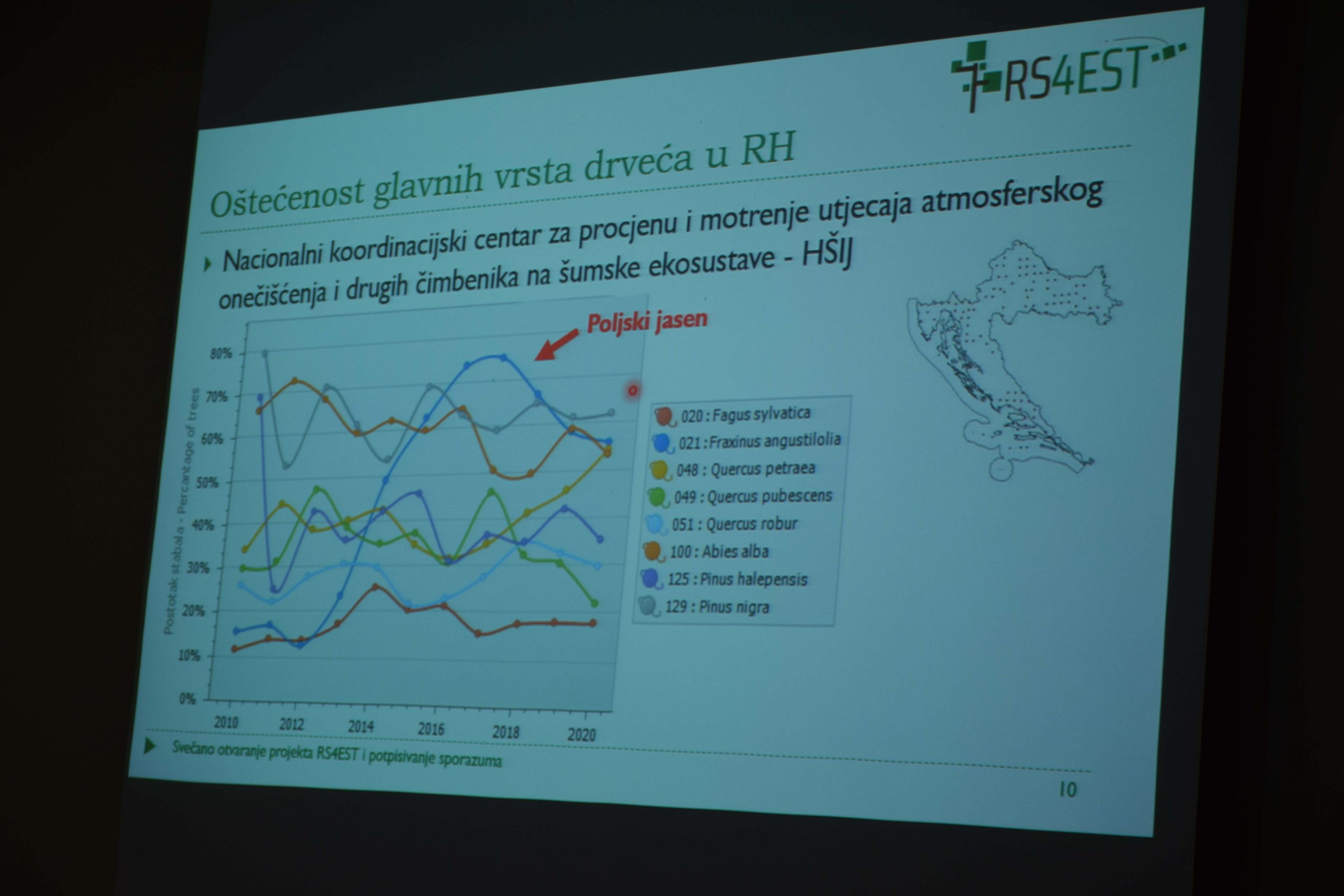
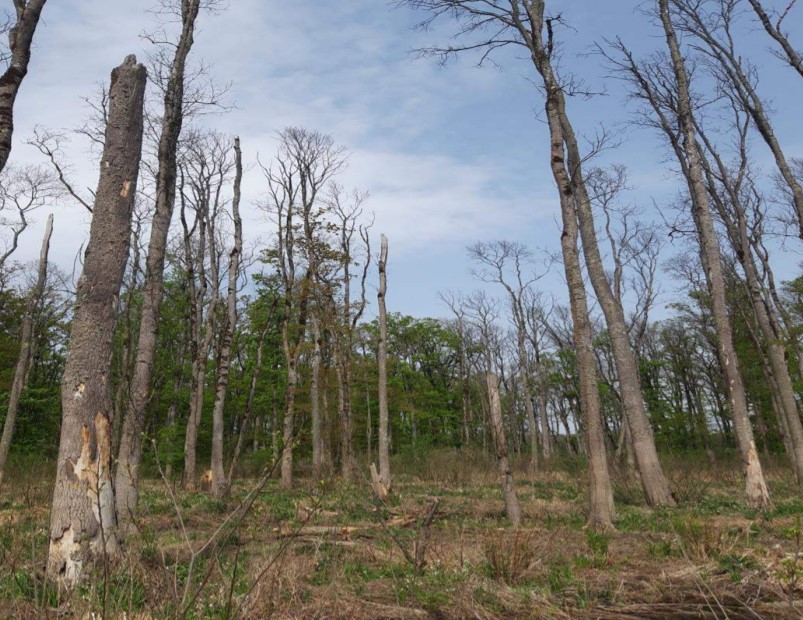
One of the main goals of the project is to develop a prototype algorithm for automatic monitoring of narrow-leaved ash forests based on advanced remote sensing methods using space technologies, which will enable the collection of accurate and current spatial data on narrow-leaved ash condition. The system will be primarily based on satellite images of high spatial and temporal resolution of the Copernicus program of the European Space Agency and additionally data from the jurisdiction of the State Geodetic Administration and Croatian Forests.
This project is an example of interdisciplinary cooperation between Croatian institutions that connects science and profession and aims to develop new products, methods and knowledge in the field of geodesy and geoinformatics, but also helps expand the presence of surveying products in other professions.
You can find out more about the project on the website rs4est.geof.hr/en/about-project/ and through the news published on Večernji list, portal Dnevnik.hr, Poslovni dnevnik and in an interview on the radio show “Drugi dio dana” (on December 16, 2021) on the 2nd program of the Croatian Radio.